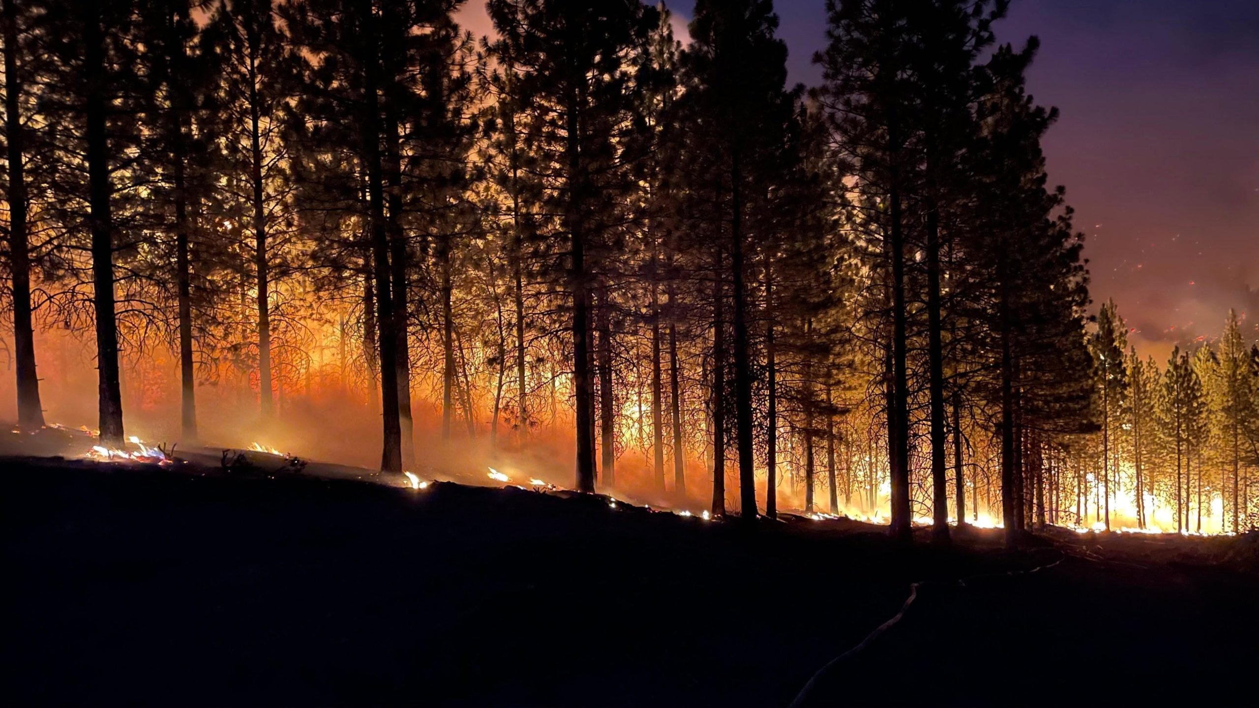
Three common questions asked during an active wildfire are, “Where is the fire? How large is the fire? And what direction is the fire moving?” In previous posts, we talked about satellite heat detection technology, but haven’t touched on new technology like FIRIS. Incident Commanders, Fire Chiefs, and public fire safety specialists use these satellite heat signatures to determine the location of fires and where to allocate resources based on the intensity and proximity. However, MODIS and VIIRS are polar-orbiting satellites, providing data only when the satellites move across the earth’s surface, every 12 hours. While GOES-16 & 17 satellites are in a geostationary orbit (rotating at the same speed as the Earth), they can provide continuous coverage. The satellites provide data up to every 5 minutes. The GOES satellites are most useful for the rapid detection of new incidents. However, MODIS and VIIRS are more sensitive and have higher resolution, an advantage in detecting smaller fires at a more accurate location.
Another technology fire leaders leverage to determine location, intensity, and behavior is wildland fire cameras. Historically, fire management officials used manned fire lookout towers as efficient tools. Human eyes on the fire allowed officials to make early decisions on an incident. Wildland fire cameras are the technical evolution of fire lookout towers. We have previously discussed how these cameras benefit firefighting efforts. However, cameras are also limited in their geographic footprint. While the network of wildland cameras is expanding, new fires ignite in unpredicted locations which are not always covered.

Fire Integrated Real-time Intelligence System – FIRIS
Satellite heat detection and wildland cameras are highly effective tools. However, both cameras have limitations in terms of accuracy, timing, and coverage. In an effort to improve upon those limitations, the California Office of Emergency Services (CalOES) has funded the Fire Integrated Real-time Intelligence System, or FIRIS. FIRIS is a program that provides an analysis of emerging incidents in California. Its objective is to provide real-time intelligence and data to decision-makers and firefighters on the ground. The program uses the Overwatch Imaging platform, which includes an aerial infra-red (IR) platform that integrates cutting-edge technologies provided by Aevex Aviation. FIRIS has two equipped fixed-winged aircraft staffed 7 days a week at two different locations, Sacramento and Los Alamitos California. Additionally, Orange County Fire Authority order and dispatch both aircraft while CalOES administers the data. By transmitting information from satellites onboard the fixed-winged aircraft, highly accurate fire perimeter information make it to ground resources in real-time. Furthermore, this information is open source, free, and transparent throughout federal, state, and local government fire departments.
FIRIS is dedicated to answering the three questions, “Where is the fire? How large is the fire? And what direction is the fire moving?”, all in real-time. Additionally, through an open-source platform, other agencies and companies can make strategic informed decisions. Decisions include determining imminent threats or evacuation planning with a common operating picture of the fire management officials and responding resources.
Sources:
https://modis.gsfc.nasa.gov/about/
https://ncc.nesdis.noaa.gov/VIIRS/VIIRSGeoErrors.php
https://fox40.com/news/wildfire-watch/firis-wildfire-program-30-million-from-california/
One Comment