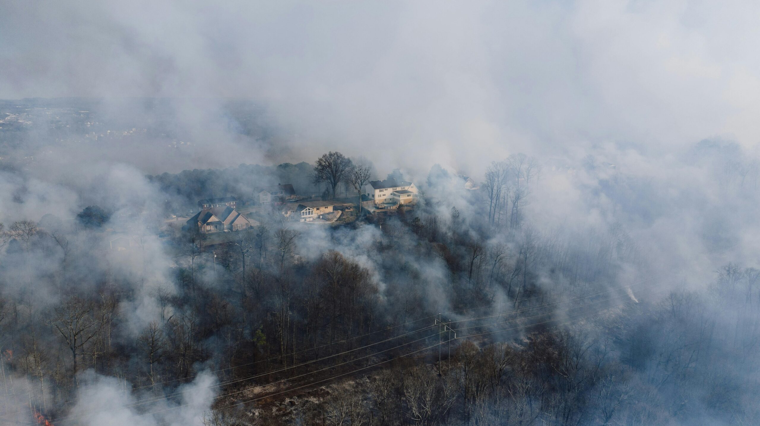
Large fire activity picked up over the weekend, especially in the Southwest and Alaska areas. Currently the 30 active, large fires across five states have burned more than 65,000 acres bringing the total for the year to 550k, well below average for this time of year. This week could increase that total as high pressure is approaching the West Coast and will provide a warming and drying trend for most of the southern West. Breezy westerly winds are expected across Arizona and New Mexico and strong northeasterly winds with some of the lowest RH readings of the year across California. In tandem, the conditions will lead to elevated and critical fire weather concern (including red flag warnings) in many places.

June 8th, 2020 Fire Weather Outlook offers the first widespread fire concern of the 2020 Fire season
Southwest and High Plains
After recent lightning, receptive and dry fuels prompted multiple smoke plumes across Arizona, New Mexico, and southeast Colorado the last few days. Continuing that trend, critical conditions are expected to develop from eastern Arizona through New Mexico and onto portions of the High Plains. Today, the the majority of the region will be dealing with strong southwest winds and low RH of 5-15%. Both, will last into the evening, and likely again tomorrow.
California
As surface high pressure settles into the Great Basin, offshore winds will continue across southern California this morning and through tomorrow night. Critical conditions are expected over some
of the higher terrain of the Transverse Ranges. Additionally, strong northerly winds will persist into the afternoon across the deserts of southeast California into southwest Arizona. Multiple smoke
plumes were visible across these desert areas this afternoon/evening. Elevated conditions are likely to develop as northerly, down valley flow strengthens amid low RH in portions of the Central Valley.
Sources: NIFC Predictive Services, NOAA


