Hurricane Idalia is intensifying as it heads toward Florida. The storm is expected to make landfall Wednesday morning, bringing once-in-a-lifetime strength and storm surge levels to parts of the state’s Gulf Coast. The hurricane is due to hit as a Category 3, bringing powerful winds and a potential storm surge of 10 to 15 feet to the Big Bend area.
The Tampa Bay area could see a storm surge of 4 to 7 feet. Anything greater than four feet of storm surge inundation in the Tampa Bay area would set a new record there. Six feet of surge inundation would set a record in Cedar Key on the southern side of the Big Bend. Florida Governor Ron DeSantis has declared a state of emergency covering 46 counties. 21 counties issued evacuation notices with mandatory orders in effect for some people in eight of them. Officials closed numerous school zones with air and train travel suspended as well.
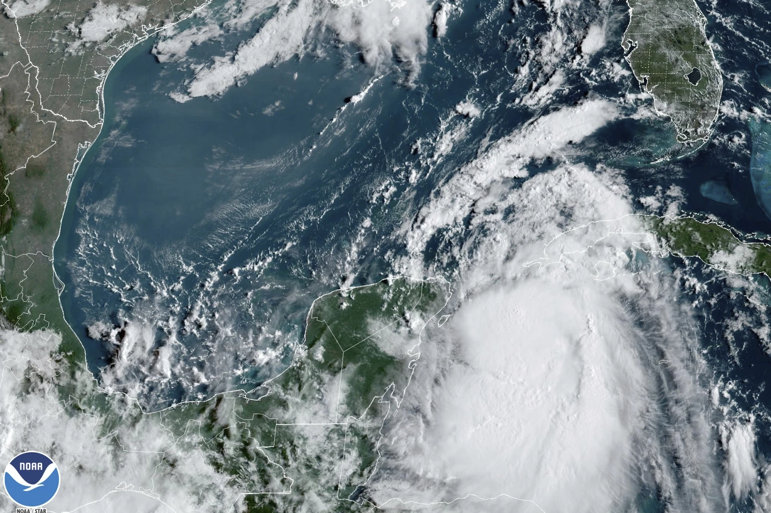
![[Image of cumulative wind history]](https://www.nhc.noaa.gov/storm_graphics/AT10/refresh/AL102023_peak_surge+png/152743_peak_surge.png)
As of this publication, the following watches and warnings are in effect.
- Storm Surge Warning: Englewood northward to Indian Pass, including Tampa Bay
- Hurricane Warning: Middle of Longboat Key northward to Indian Pass, including Tampa Bay
- Tropical Storm Warning: Dry Tortugas Florida, Chokoloskee northward to the Middle of Longboat Key, West of Indian Pass to Mexico Beach, Sebastian Inlet Florida to South Santee River South Carolina
- Storm Surge Watch: Chokoloskee northward to Englewood, including Charlotte Harbour, Mouth of the St. Mary’s River to South Santee River South Carolina
- Hurricane Watch: Englewood to the Middle of Longboat Key
- Tropical Storm Watch: Lower Florida Keys west of the west end of the Seven Mile Bridge, South Santee River northward to Surf City North Carolina

Hurricane Path
Hurricane Idalia was in the Gulf of Mexico Tuesday moving north at 14 mph. About half of the Idalia models state it will make landfall in Florida’s Big Bend area. This area is where the panhandle meets the peninsula, including Tampa Bay. The storm could arrive on Wednesday morning between 7 AM to 11 AM. Next, the storm will move northeast into Georgia, and then South Carolina and North Carolina on Wednesday. Four to 8 inches of rain could fall from Tuesday to Thursday throughout the impacted area.
Hurricane Idalia is forecast to strengthen into at least a Category 3 hurricane. Category 3 storms have sustained wind speeds of 111-129 mph and are expected to produce devastating damage, including downed trees, major damage to homes, and days- or weeks-long cuts to electricity and water.
Sources: NHC