Below are summaries from the National Significant Wildland Fire Potential Outlook, provided by the National Interagency Fire Center, for the period of January through April 2023. Additionally, the full wildfire outlook can be located here.
Year-to-Date Statistics:
| Year-to-date statistics | Number of Fires | Acreage Burned |
| 2022 (01/01/22 – 12/23/22) | 65,818 | 7,472,995 |
| 10-year Average (2012-2021) | 58,671 | 7,270,558 |
| Percentage of 10-year Average | 112% | 102% |
Source: https://www.nifc.gov/fireInfo/nfn.htm
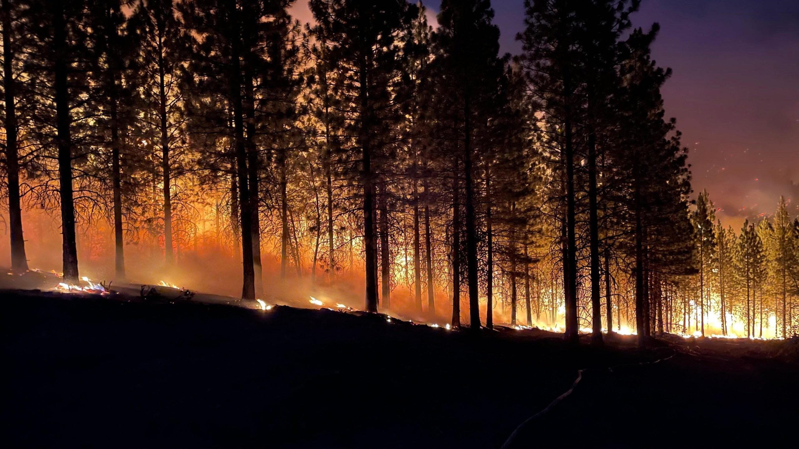
Observations in December:
Significant fire activity was minimal across the US during December as consistent upper-level trough passages with enough precipitation limited significant fire potential. However, it remained dry across much of the central and southern High Plains into the Rio Grande Valley, with occasional elevated fire weather conditions. Year-to-date acres burned for the US is just above the 10-year average, with the number of fires about 10% above average.
Wet winter weather throughout much of the county brought above average moisture and cooler than normal temperatures, resulting in minimal fire activity. Most notably, an atmospheric river brought heavy precipitation to Northern and Southern California on several occasions throughout the month of December and resulted in significant winter storms that prevented any significant fire activity. Record breaking low temperatures and blizzard conditions hit portions of the Great Lakes, northern Plains, and the Northeast.

US Drought Monitor Status as of January 3, 2023
US Drought Status
Another modest reduction in drought occurred for the US in December, with improvements scattered throughout the country, but drought continues in about half of the country. The most intense drought continues on portions of the southern and central Plains, which had another month of below normal precipitation, including some areas receiving none. Near to above normal precipitation fell on much of the West Coast, northern Intermountain West, northern Plains through the western Great Lakes, and in the Northeast. Most of the US had near to below normal temperatures, including record low temperatures behind a strong Arctic cold front just before Christmas.
Near to below normal temperatures and near to above normal precipitation are likely from the Pacific Northwest to the Great Lakes into March. Warmer and drier than normal conditions are likely through March along the southern tier of the CONUS, especially in much of the Southwest, southern High Plains, Gulf Coast, and southeast Atlantic Coast. Drought is anticipated to expand into portions of the Four Corners, south Texas, and on the southeast Coastal Plain, but drought conditions will likely improve across the northern tier of the West, northern Plains, and in portions of the Ohio and Mississippi Valleys.
Wildfire Outlook for January – April:
Above normal significant fire potential is likely in portions of south Texas, northeast Florida, and coastal Georgia in January due to continued warmer and drier than normal weather. Above normal potential will expand to include southwest Texas, southeast New Mexico, the Florida Panhandle, southeast Georgia, and the coastal Carolinas in February and March. Above normal potential will also likely increase into parts of central Texas during March. However, all areas are forecast to return to near normal significant fire potential in April due to green-up and a likely pattern change during spring. Portions of the central Plains, especially the High Plains, may have periods of above normal potential during dry and windy weather events, especially if precipitation deficits worsen. The rest of the US will have near normal significant fire potential through April, with many areas out of fire season until spring arrives.

January 2023 NIFC Predictive Services Fire Potential Outlook

February 2023 NIFC Predictive Services Fire Potential Outlook

March 2023 NIFC Predictive Services Fire Potential Outlook

April 2023 NIFC Predictive Services Fire Potential Outlook
Source: NIFC