
The National Weather Service has issued a Red Flag Warning for much of the Southern California region from today around 1000 hours through Friday Evening. A moderate/strong Santa Ana event will impact the area with winds gusting up to 55 mph and relative humidity as low as 2%. These conditions, combined with warm temperatures and dry fuels may contribute to extreme fire behavior.
The National Weather Service issued a warning about Critical Fire Weather conditions the next few days
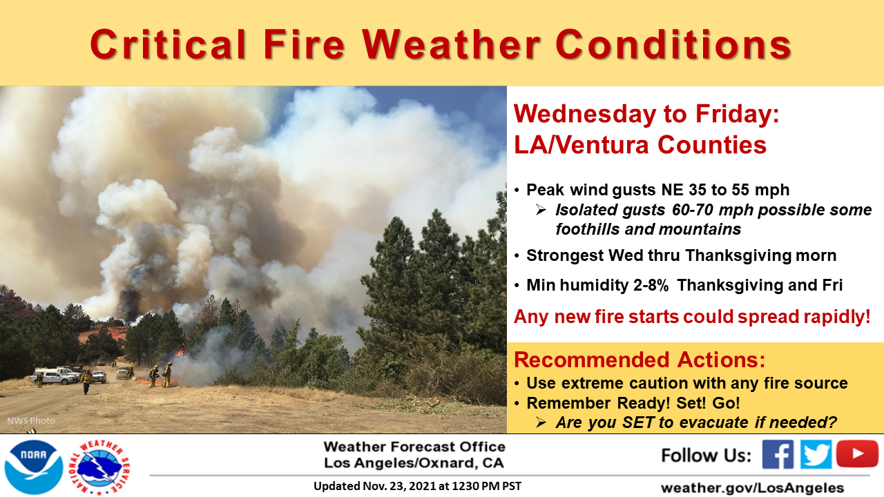
The Santa Ana event starts late Wednesday morning and will continue through much of the day on Friday. Northeast winds will increase starting just after sunrise on Wednesday then peak late Wednesday afternoon through Thursday morning. Winds will gradually weaken through Saturday but will remain gusty at times. Peak wind gusts between 35 and 55 mph are expected, with isolated gusts to between 60 and 70 mph. Humidities will begin to lower to critical levels on Wednesday afternoon then continue to drop to as low as 2 to 8 percent by Thursday and Friday along with very poor overnight recoveries, especially in mountain areas.
The combination very gusty winds and very low relative humidity over a sufficient period of time will create red flag conditions for most of Los Angeles and Ventura Counties, primarily Wednesday through Thanksgiving. Although winds will be weaker on Friday, the very low humidities combined with occasionally gusty northeast winds will continue these critical conditions through Friday afternoon.
What are these critical fire weather conditions that warrant the issuing of a Red Flag Warning? They are common during a Santa Ana Event. Read our previous blog here to find out.