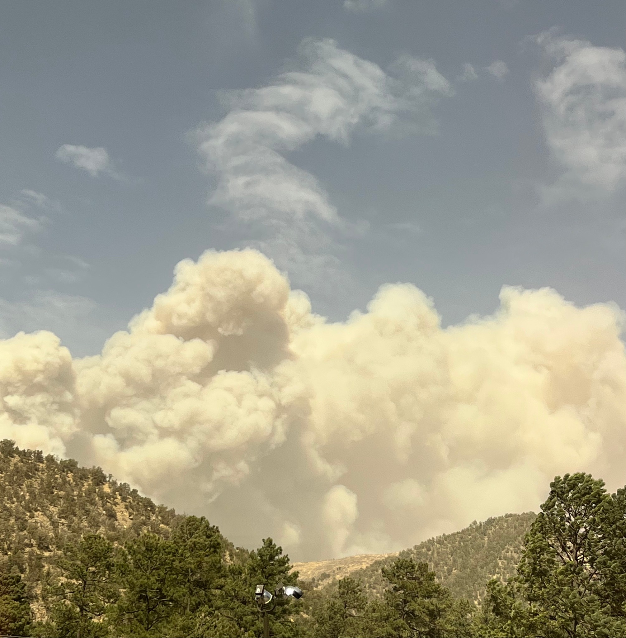
The McBride Fire started before noon on April 12th near Warrior Drive and Hull Road in east Ruidoso. Under Red Flag Conditions, the fire quickly grew to a couple of thousand acres in a just few hours. Consequently, officials say 200 or more residential structures were burned or damaged in the fire.
Fire Facts
- Location: Ruidoso, NM
- Size: 5,736 acres
- Containment: 0%
- Residences Threatened:1,000
- Residences Destroyed: 151
- Evacuations: Moon Mountain Area (High Loop, Lupin, Starlight etc.), Gavilan Canyon (From Highway 70 to Lower Eagle Creek), East of Hull (McBride, Snowcap, Timberline, Fawn Ridge etc), Homestead Acres/Lower Eagle Creek, Rancho Ruidoso Valley Estates, Deer Valley, Deer Park, and Alto East of Flute Player

The McBride Fire prompted a vast area of evacuations surrounding the fire start location. The blaze burned several structures in the area of McBride, Gavilan Canyon, Fawn Ridge, Homestead Acres, and Lower Eagle Creek. Unfortunately, officials reported two fatalities as a result of the fire. Family members could not account for an elderly couple, attempting to evacuate. Additional information and future updates are located on the official fire Facebook page.
The fire is one of at least five blazes burning in New Mexico. The fires, known as Hermits Peak, Overflow, Big Hole, and Nogal Canyon, have burned more than 13,000 acres throughout the state. Red Flag conditions including winds gusting 50-70 mph, single-digit relative humidity, and hot temperatures have fueled the fire. This tracks with the current fire weather and drought outlook, showing above-normal fire potential. A full recap of the outlook was posted in last week’s blog, found here.
Sources: InciWeb