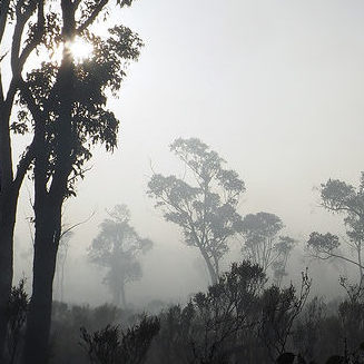
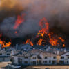
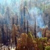
Over 365,000 acres have burned along the eastern coast of Australia in the New South Wale (NSW), the country’s most populous state. As a result, officials declared a state of emergency for the entire state, as conditions have reached “catastrophic”, the nation’s highest bushfire danger rating. Tragically, three people have died while over 150 structures have been destroyed. Even worse, included in those destroyed was a wildlife sanctuary near Port Macquarie, which was home to as many as 350 koalas.
Fire weather is far from over, as temperatures are in the high 90s and winds are averaging around 50 mph. There are still at least 12 emergency fires burning in NSW as of Tuesday afternoon local time, out of a total of 78 blazes across the entire state. An emergency warning is issued when a fire is imminently threatening a town or community. A bushfire was spotted just nine miles north of the Sydney city center. As a result, more than 600 schools are closed across the state, and numerous communities evacuated.
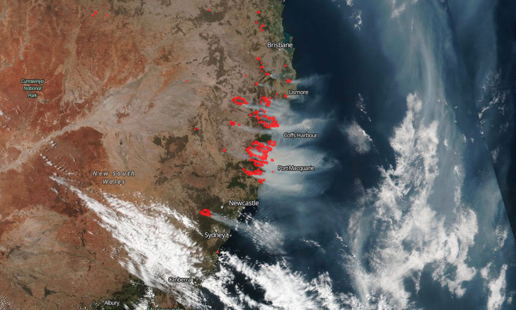
The New South Wales Bushfires as seen from Space on November 11th [Source: NASA Worldview]
Bushfire Outlook:
Over 3,000 firefighters are working the fire, with the help from units abroad. Unfortunately, catastrophic fire danger will continue for Sydney, Hunter, Illawarra, with temperatures in the high 90s, strong winds, and 5% relative humidity. Winds are continuously shifting, keeping communities along the coast on alert. On top of that, precipitation is not expected to return to the area in the near forecast. With that in mind, the Rural Fire Service noted there are still 11 bushfires burning at the ‘Emergency Warning’ level that still have plenty of potential.
“We can’t lose sight of the fact there is still some very aggressive fire behavior unfolding still at this moment” – Rural Fire Service, Nov 12th Information Briefing
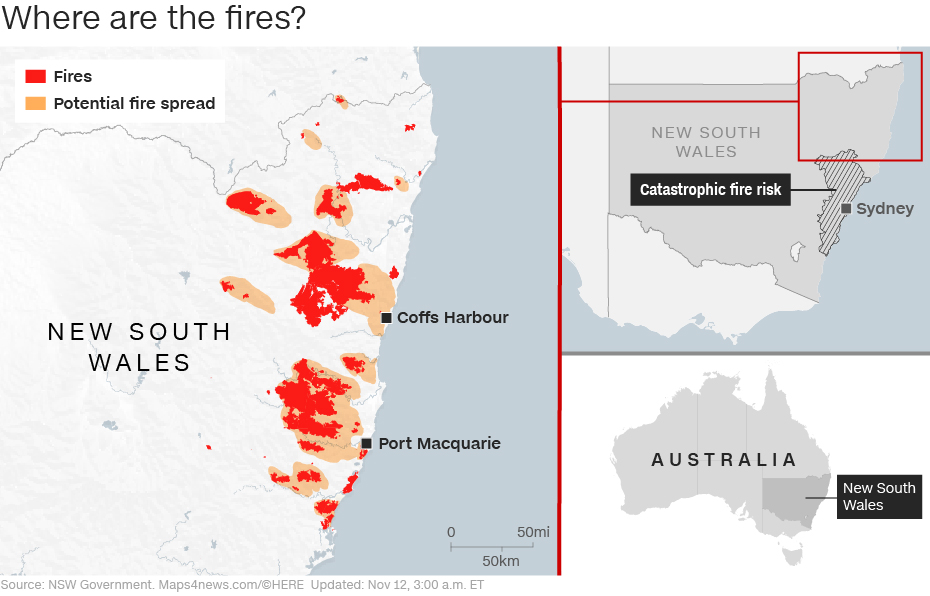
Depiction of future fire spread and areas under Catastrophic fire risk. Source: NSW Government
Bushfire Facts:
- As of: November 12th 2019
- Location: East Coast of New South Wales, Australia
- Size: 365,715 acres (estimated)
- Fire Behavior: Rapid fire spread through tall grass and moderate to heavy brush and forest in rural terrain.
- Structures Destroyed: 150 (estimated)
- Evacuations: Are in place throughout the east coast, specifically near Tapin Tops National Park, Kiwarrak, Mount Boss, Willi Willi National Park, Oxley Wild Rivers, Wollemi National Park, and Macksville
- Incident Page: https://www.rfs.nsw.gov.au/
- News Article: CNN
One Comment