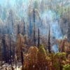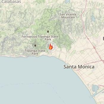
Just sixteen miles south of last week’s Saddleridge Fire, the Palisades Fire burned 40 acres between Palisades Dr and Charmel Ln in steep terrain yesterday afternoon, quickly spreading and prompting evacuations of a neighborhood of Pacific Palisades. Fortunately, hard work from air and ground crews saved the 200 homes that were threatened from damage or destruction and all have since been repopulated. This morning’s incident briefing portrayed a mop-up and perimeter-control day ahead of the crews. A direct ground attack is the main plan for the two divisions, with dozer(s) cleared to improve a nearby fire road, and an Structure Protection Group working the previously evacuated neighborhoods.
Palisades Fire Update:
Evacuations: As of 8:00 pm Monday (Oct. 21st) all residents were allowed back into their homes, all evacuation orders were lifted, and the evacuation center was closed.
Isolated flare ups are possible throughout the day with the steep hillside and Santa Ana winds forecast for the fire area. The priority will be increasing containment before stronger winds and another potential Red Flag Warning beginning as early as Wednesday night. Los Angeles City and County Fire have made good progress to stop the fire’s spread in all directions. Full containment is expected in the next few days.
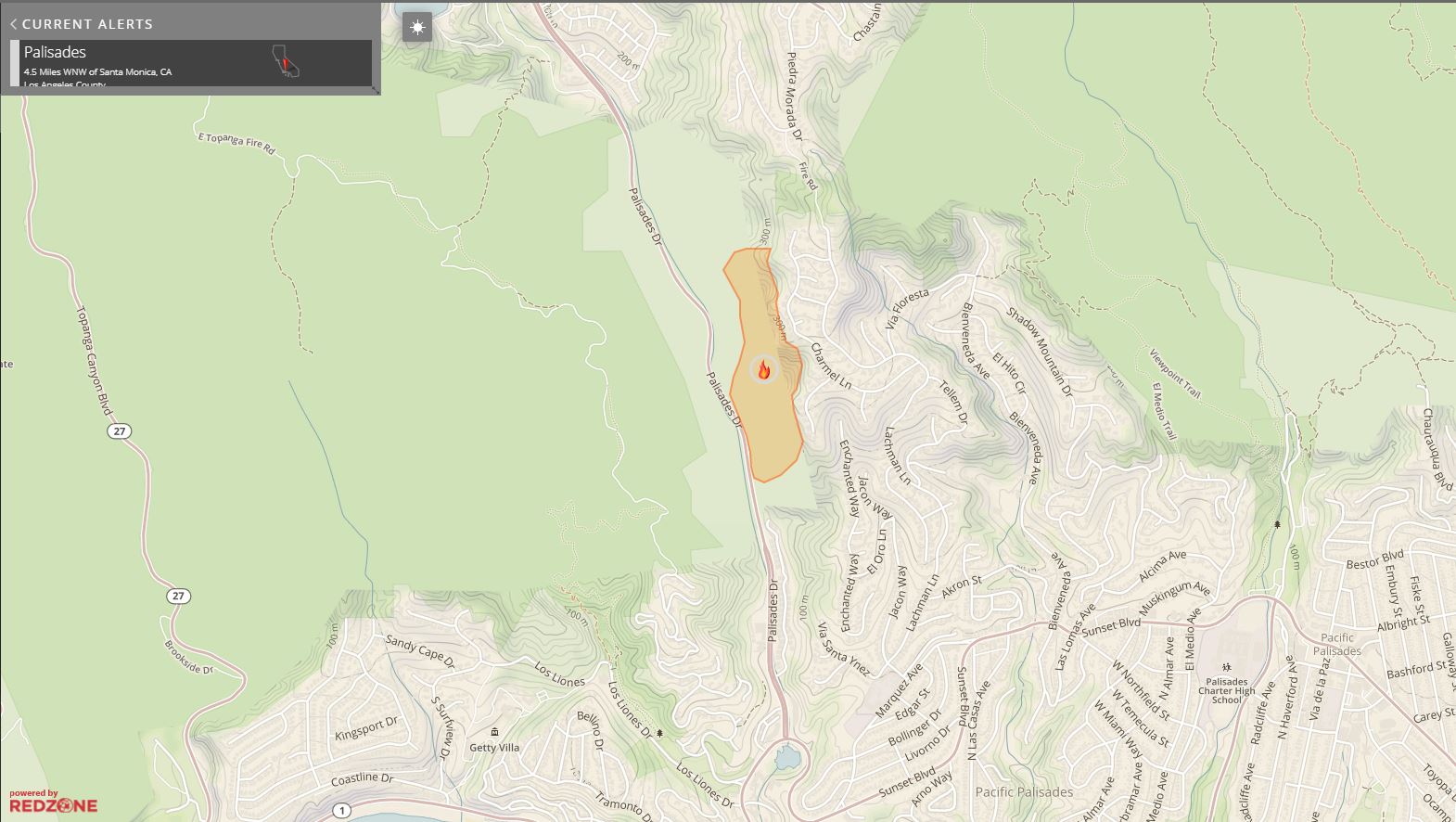
Palisades Fire burned forty acres in steep terrain between Palisades Drive and Charmel Lane
Palisades Fire Facts:
- Location: Palisades Dr & Sunset Bl near Santa Ynez Canyon Park, CA
- Size: 40 acres
- Containment: 10%
- Fire Behavior: Forward progress stopped. Fire is in mop and perimeter control.
- Structures Threatened: 200+ structures were threatened by the Palisades Fire
- No structures damaged or destroyed at this time
LAFD Incident Page: https://www.lafd.org/news/pacific-palisades-brush-fire