Red Flag Warning Possible through Saturday
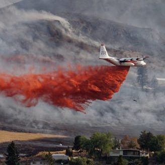
The National Weather Service has issued a Red Flag Warning for Southern California beginning in the early AM hours on Monday through (at least) Friday 1200 PDT. The areas will experience a significant Santa Ana conditions with the strongest winds expected Monday night and Thursday night into Friday. Offshore winds will exacerbate the problem by drying the air and reducing humidity to the single digits. This will likely be the strongest and longest Santa Ana event we have seen in the 2017 season.
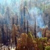
Around this time two years ago we discussed what the thresholds are for a Red Flag Warning in Southern California. In this case, the National Weather Service sees the region’s relative humidity ≤15%, with sustained winds ≥ 25 mph and/or frequent gusts ≥ 35 mph (duration of 6 hours or more). The early event projections have even stated this could extend into next weekend. Specifically, wildfire danger will be most critical in the mountains and valleys of Los Angeles and Ventura counties. The combination of Santa Ana winds, low humidity, warm temperatures, and dry fuels will increase the risk for the rapid spread of any new fire starts. In response for this week, extra strike teams, and brush engines have been strategically staged in case of a big wildfire ignition.
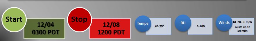
This week’s expected Red Flag Warning statistics
Areas Impacted by Santa Ana Conditions:
Ventura County Mountains, Orange County, Los Padres National Forest, Los Angeles County Mountains, Angeles National Forest, Santa Clarita Valley, Cleveland National Forest, and San Diego County.
Click for official Santa Ana Conditions information: Red Flag Warning
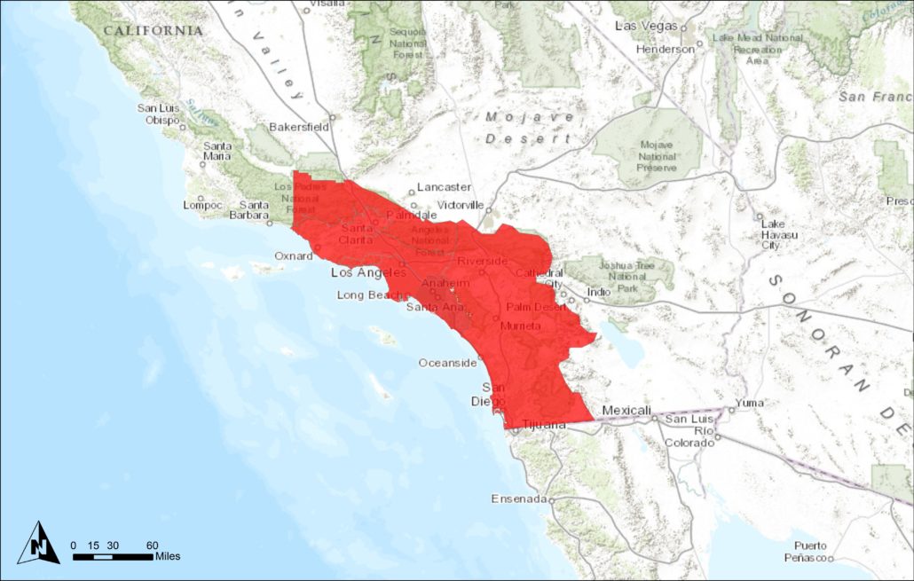
This week’s Red Flag Warning covers Southern CA from Santa Barbara to the border

One Comment