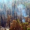
The Anderson Creek Fire continued to burn through Kansas from Oklahoma, but was nearing full containment as of March 29. Erratic weather over the preceding weekend prevented daily perimeter flights and hindered firefighters’ efforts. On Monday the 28th, aerial attempts were finally successful, allowing crews to gain a more precise acreage measurement of 367,620 and containment up to 95%. As of Tuesday, March 29th, twelve homes had been reported as destroyed. Blackhawk choppers, along with rain and snow, helped the firefighters improve containment lines and make progress on the fire. The Anderson Creek Fire is the largest wildfire in Kansas history.
The Oklahoma Forestry Service released this fire progression map on March 28th after receiving flight data. The bright red portions in the eastern area show the most recently-active areas of the fire. An unfavorable weather system passed west to east over the area throughout the 28th and 29th, and crews were optimistic about the firefighting plans for the subsequent days.
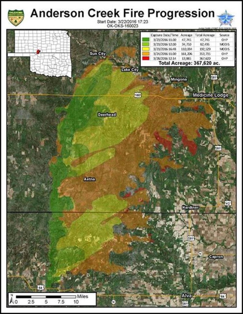
Anderson Creek Fire – OK & KS – Fire Progression by Oklahoma Forestry Services